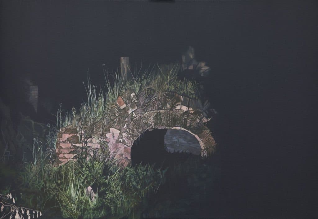
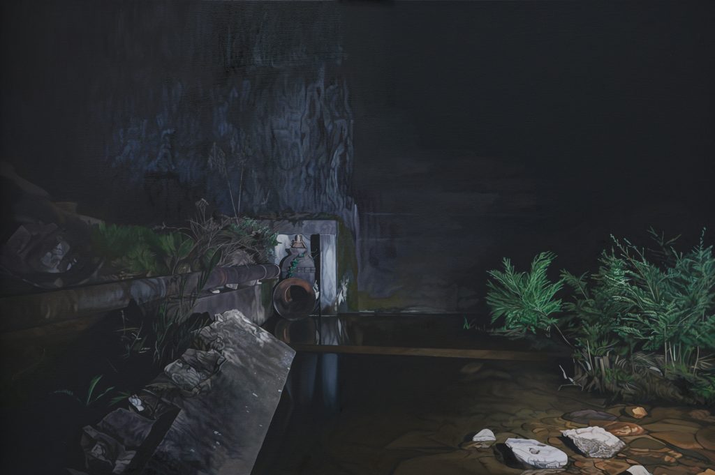
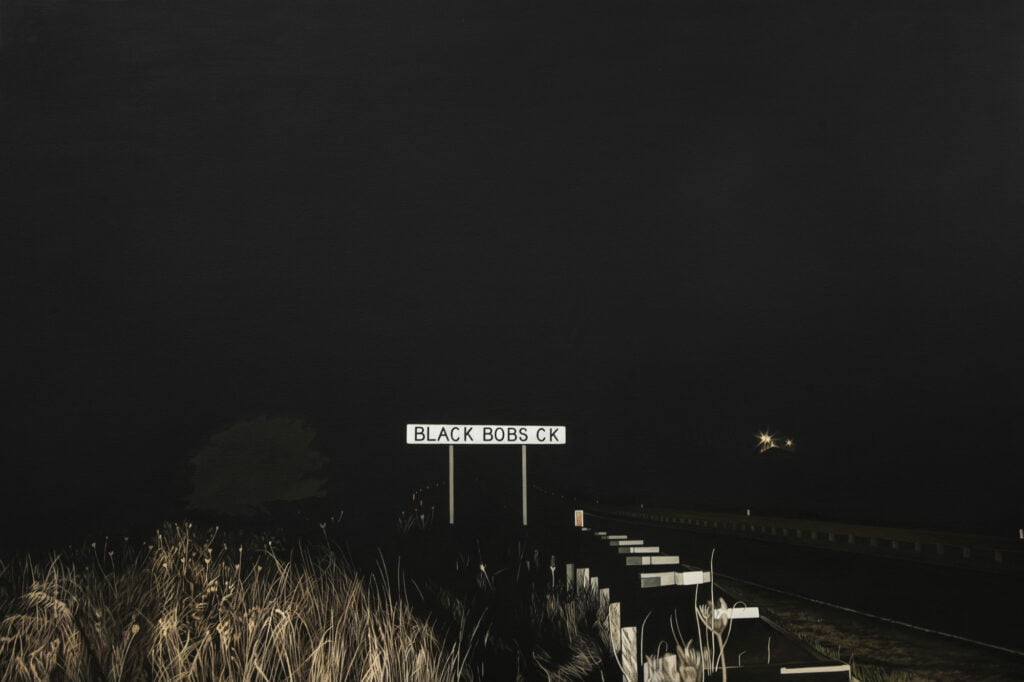
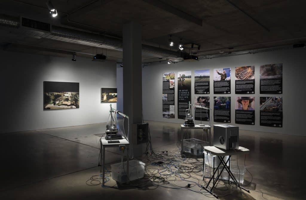
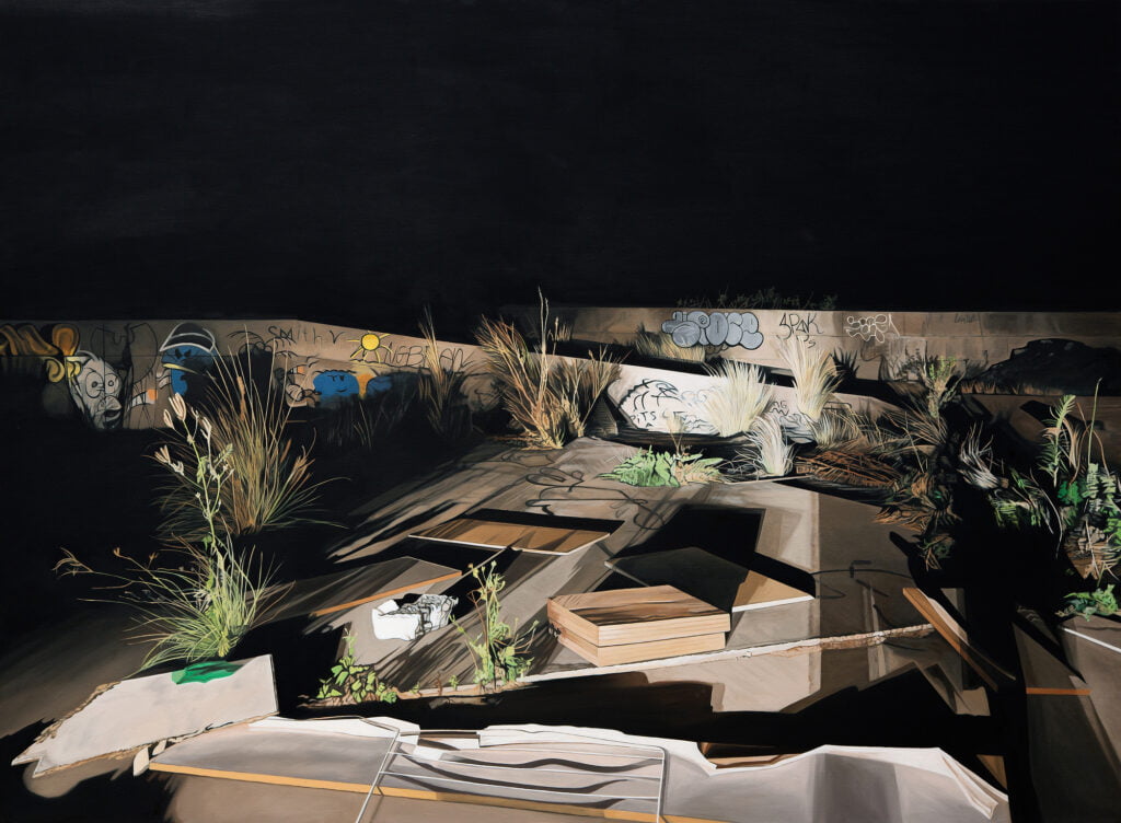
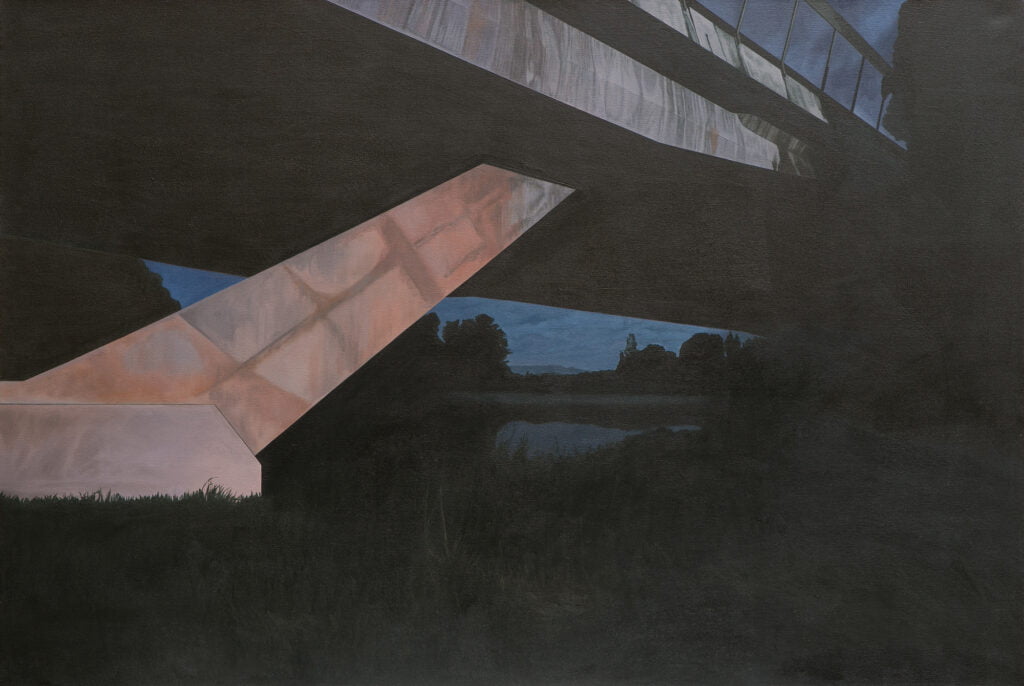
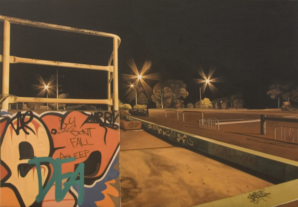
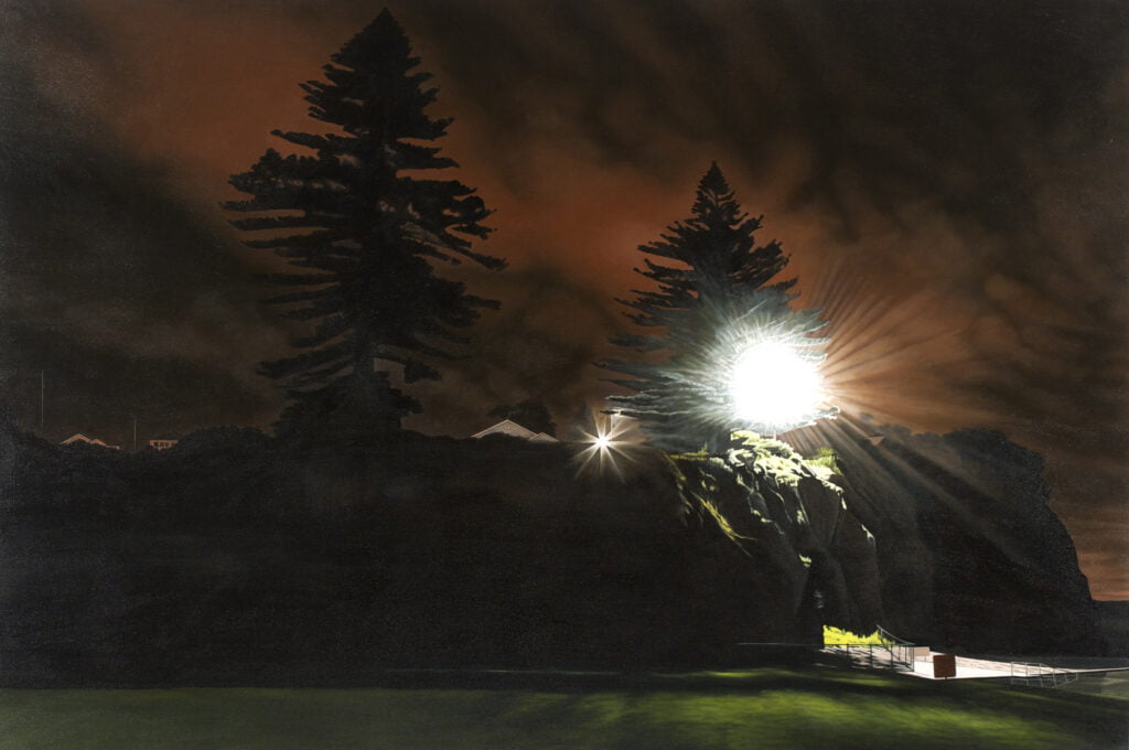
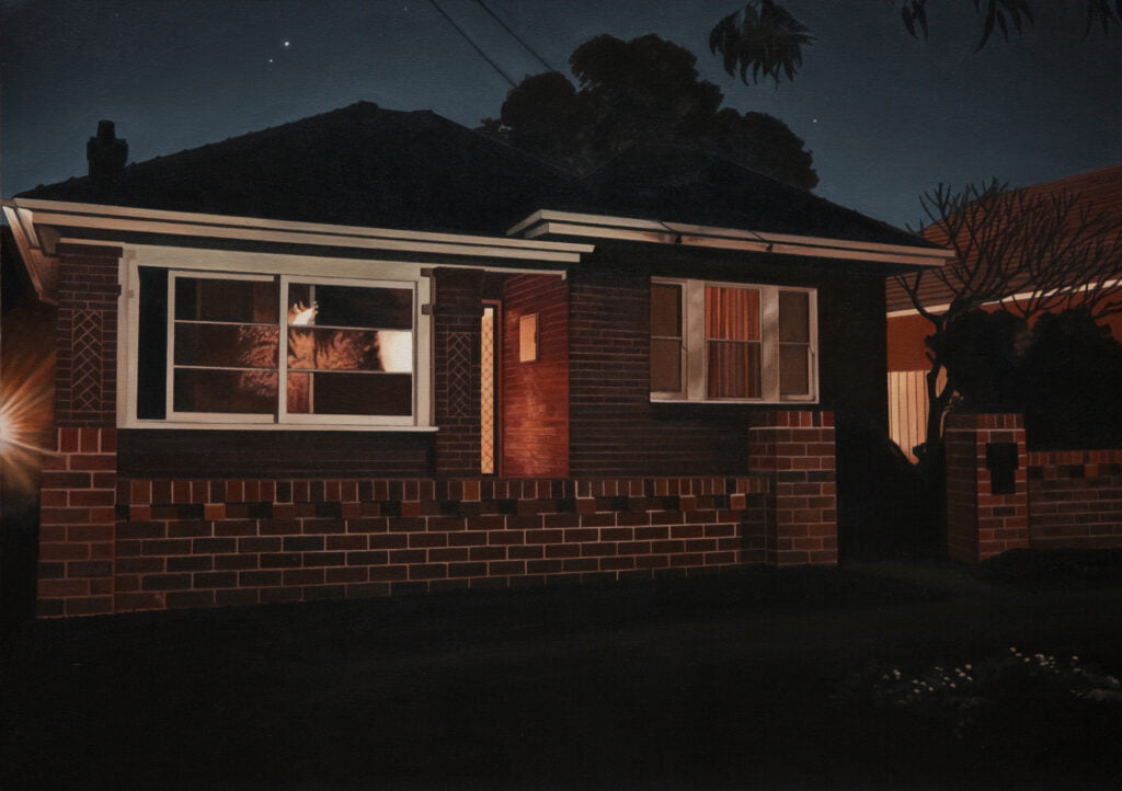
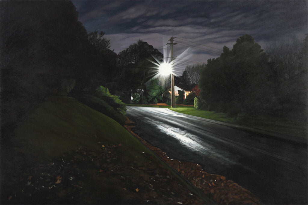
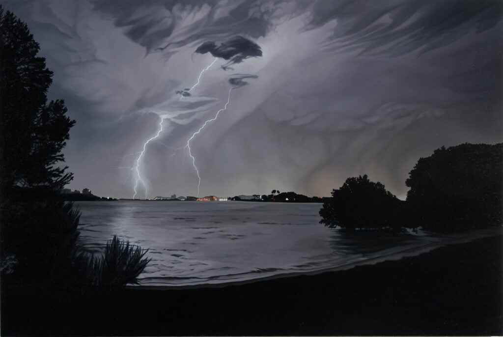
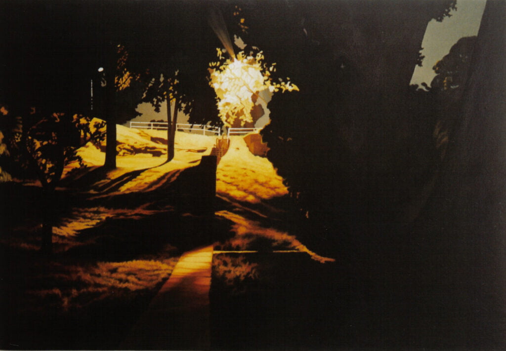
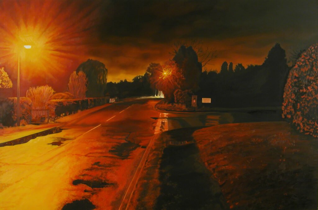
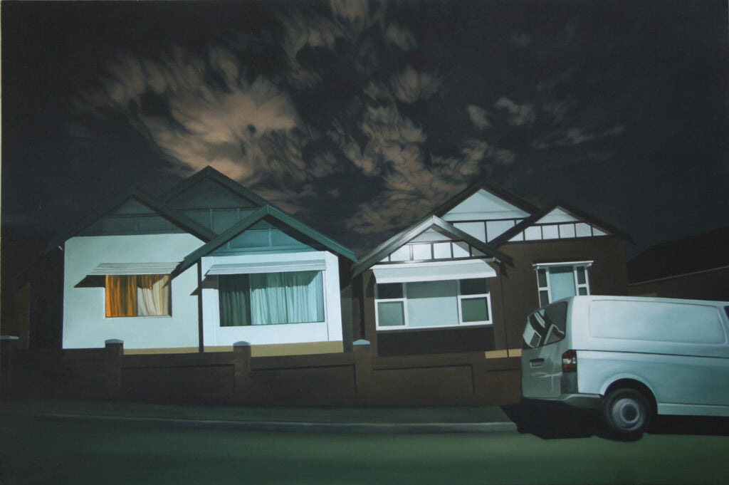
Interesting Stuff: Enclaves and Exclaves 2

Continued from this post, some more on the weirdness of enclaves.

The example I’ll look at in detail is from modern Central Asia. I think it’s the best illustration of how border “irregularities” can make life incredibly difficult. Consider this map of the mutual borders between Kyrgyzstan, Uzbekistan and Tajikistan. Note that there are a few more smaller enclaves of various countries that are too small to show on this map.

Fergana Valley political map-de

On a map where all countries are the same colour it’s very hard to tell which area belongs to which country, so convoluted are the borders. They make a monstrously-sized swirl or spiral, or perhaps a jigsaw puzzle if you prefer. These stem from Stalin-era divisions between the republics of the USSR.

Stalin’s goal was to integrate the Soviet state into a region of very complex population dynamics — not to mention the tension between Soviet communism and the Muslim practice of the population. The solution was to create the 5 ‘stans, complete with somewhat-manufactured ethnic identities, borders and histories. From what I’ve read part of the reason for the borders’ complexity was to stop large areas that have the same ethnicity AND the same borders. And so, you have the Kyrgyzstan side of this jigsaw populated mostly by Uzbeks, the Uzbek side largely by Tajiks and so on. The other reason was that all the republics were part of the USSR so it didn’t matter too much. You could still get around without a border crossing.

Once the USSR collapsed the borders were locked in. This means that a person who might have been able to take the bus to visit relatives 50km away must now cross 2 or 3 international borders. Often they need the expense and hassle of applying for visas. And of course the land borders are staffed by underpaid and often corrupt guards. You might get stuck with paying a bribe that’s a month’s salary.

There’s also ample opportunity for violence. The guards are armed, the valley is tense. The valley’s a hotbed of fundamentalism and home to several terrorist networks. This has caused governments to be particularly strict. It has caused people to start distrusting those across the road who are now (say) “Tajik citizens” whereas we’re “Kyrgyz citizens”. Some of the enclaves are surrounded by landmines which kill shepherds.

Inside the enclaves there are growing populations with scarce resources and little access from the surrounding country, which does not consider itself responsible for the enclave. There have been improvements in some areas (some visa-free travel is allowed between Kyrgyzstan and Uzbekistan) but not others (a plan for a corridor from one of the Uzbek enclaves into mainland Uzbekistan failed).

Historical exclaves

One of the largest historical exclaves was Pakistan just after partition, which included Bangladesh (then East Pakistan). Here it is in 1947. This lasted just 24 years until the Bangladesh war of independence.

I didn’t know this until recently but West Berlin was an enclave/exclave. I always thought the border between East Germany and West Germany was at Berlin but no, Berlin was deep within East Germany proper.

Of all the enclaves this may have been one of the most strict since the East-West German border was possibly the most militarised border in history. It really was a case of West Berliners being under siege surrounded by an utterly hostile entity. A case in point, since in 1948 the USSR decided to make the Western Allies leave Berlin altogether. To do this, it imposed a de facto total blocade of all supplies coming in by land. For 15 months the Western Allies flew in all supplies into West Berlin — 2.3M tonnes delivered in 275000 flights. That’s about 25 flights per hour for 15 months all because of the political geography of that enclave.

Really weird exclaves

There can be several orders of exclaves. For instance, counsider countries A and B. There’s an area inside B that’s part of A. Then there might be an area inside that enclave that’s part of B. This might go on by another level. Has this level of wankery actually been reached in the real world, you might ask? Yes it has. Below is a map of the Cooch Behar district, West Bengal, India:

Cooch-behar-enclaves-schematisch

The pink is India. The blue is Bangladesh. Note the enclaves. The dots are really small enclaves with orange being India and green being Bangladesh. As you can see from the dots, there are enclaves of Bangladesh within enclaves of India within Bangladesh. And vice versa. I believe there is a 3rd level of surrounding that’s too fine to show on the map but maybe not. For more detail, see this map.

Finally, no discussion of enclaves is complete without a map of the numbfuckery that’s Baarle-Hertog and Baarle-Nassau. The first is a municipality in Belgium, near the border with the Netherlands. The second is a municipality in the Netherlands, on the other side of the border. Due to complicated medieval treaties, there are 20 irregularly-shaped enclaves of Baale-Hertog within Baarle-Nassau. Here is a zoomed-out map with Baarle-Hertog in red. The grey bits are Belgium, Netherlands is blank.

Here is the zoomed-in version:

Baarle-Nassau - Baarle-Hertog-de

As you can imagine, the international border runs through people’s houses. There are restaurants that must close at a certain time according to one country’s laws where the diners have to move to the other side of the room. Here’s a snapshot of the border:

1 comment so far ↓

#1 Travels in Kyrgyzstan (Politics/Governance) -- a Nadder! on 04.26.12 at 4:45 pm

[...] in the events of the massacre. One of the men was from Uzbekistan and was visiting family in the Uzbek enclave of Shakhimardan which is inside Kyrgyzstan. He heard of the thousands of Uzbek refugees fleeing [...]

Leave a Comment